
Managing Flood Risk in the Fairy and Cabbage Tree Creek Catchment
Consultation has concluded
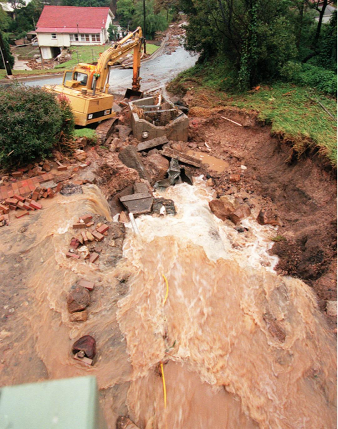
We’ve completed several studies to assess the flood risk within the Fairy and Cabbage Tree Creek Catchment. The risks are to people, property, infrastructure (e.g. roads and stormwater pipes) and assets (e.g. public parks and recreation areas). We’re now working on a Floodplain Risk Management Plan to look at ways to manage flood risk.
Measures used for managing flood risk
These measures might include groundworks in the catchment (e.g. drainage improvements and levees) to protect existing development and assets. We also consider using development controls and planning measures to reduce the risk of flooding to future development in the catchment. In addition, evacuation and emergency response planning will also be part of our approach to managing flood risk.
We’re asking the community to be involved in this flood risk management planning. We’d like to know where you think we should be focusing our efforts to protect existing homes, businesses, roads and other assets from flooding. We’d like you to be part of planning for flood-safe development into the future. We’ll work alongside the community and the State Emergency Service (NSW SES) so we can all respond to flooding in a coordinated, efficient and practical way.
Previous Community Input
The community has provided valuable input to previous flood investigations within the Fairy and Cabbage Tree Creek catchment. In 2010, they shared feedback with us as part of the previous Fairy and Cabbage Tree Creek Floodplain Risk Management Study. They provided accounts of their observations of previous flooding and shared feedback on the flood mapping through an online survey and community drop-in session. This input helped us to assess the suitability of a range of flood management measures for the catchment. The most recent inputs provided in 2019 as part of the reviews saw community provided accounts of their observations of flooding and feedback on the flood mapping through online surveys and at community drop-in sessions. The flood models were updated as a result. The Fairy & Cabbage Tree Creeks Flood Study (2020) was updated and finalised following their public exhibitions and was adopted by Council at its meeting on 29 June 2020.
Flood risk management measures for the Fairy and Cabbage Tree Creek catchment
Using the previous flood investigations and input from the community, we’ve assessed a range of flood management measures for their suitability in reducing flood risk in the Fairy and Cabbage Tree Creek catchment. These include engineering works, vegetation management, development controls, planning measures and emergency response arrangements. These are some examples of each of these measures:
Engineering structures
 Debris control structures
 Improving drainage
Property modifications (existing development)
 Voluntary house purchase
 House raising
Development controls (future development)

 Minimum floor levels
Emergency response and community awareness
 Flood warning signs
 Flood plan
To find out more about the process for managing flood risk and how you can be involved in our planning:
- Read the FAQ
- Take a look at the study area map showing the location of the recommended options
- Let us know what you think of the measures in our online survey
- Ask a question about this project in the Q&A forum
- Email engagement@wollongong.nsw.gov.au
- Phone (02) 4227 7111
- Attend the drop-in information session.
Drop-in information session
At this session, we’ll have maps showing the location of the recommended measures for managing flood risk. The flood engineers who are working on the Floodplain Risk Management Study and Plan for this catchment will be there to answer your questions, explain what is being planned and how the proposed measures will help manage flood risks.
Date: Tuesday 19 September 2023
Time: Anytime between 3:30-6:30pm - there's no presentation at this session, so you can drop in throughout the timeslot.
Where: Fairy Meadow Community Centre - Guest Park, Princes Highway, Fairy Meadow.
Accessibility, mobility or language assistance
If you’re d/Deaf, hard of hearing or have a speech or language difficulty, you can contact us through the National Relay Service. If you need an interpreter, you can contact us through the Translating and Interpreting Service on 131 450. You’ll need to provide our phone number 02 4227 7111 for either service. If you would like to attend the information sessions and have accessibility or mobility requirements, please let us know how we can support your attendance. We can also arrange for an interpreter to come along to help residents who have difficulty communicating in English. To arrange support, please contact engagement@wollongong.nsw.gov.au
Join the conversation
Share your feedback with the project team by 16 October 2023. Submissions become public documents and may be viewed by other persons on request. Please read Council's Privacy Policy before submitting your feedback.
If you have a question about this project, ask it here and we'll respond. Please sign in or register and read Council’s Privacy Notification before submitting your questions.
Engagement Report December 2023
Draft Floodplain Risk Management Study & Plan and Maps
-
 Map for Fairy and Cabbage Tree Creeks FRMSP - Study Area and Options (1.11 MB) (pdf)
-
Fairy and Cabbage Tree Creeks Floodplain Risk Management Study and Plan Volume 1 - Final Draft Report (23.7 MB) (pdf)
-
Fairy and Cabbage Tree Creeks Floodplain Risk Management Study and Plan Volume 2 – Flood Study Update Report (20.1 MB) (pdf)
-
Fairy and Cabbage Tree Creeks Floodplain Risk Management Study and Plan Volume 3 – Flood Mapping Compendium (150 MB) (pdf)
Flooding in Wollongong Video
-
 Our location between the escarpment and beaches means flooding isn’t a one-off event. It’s not a matter of if it’ll happen again, but when. We’ve put together the following video that not only explains why we’re flood-prone, but what we’re doing about it.
Understanding Floods Video
-
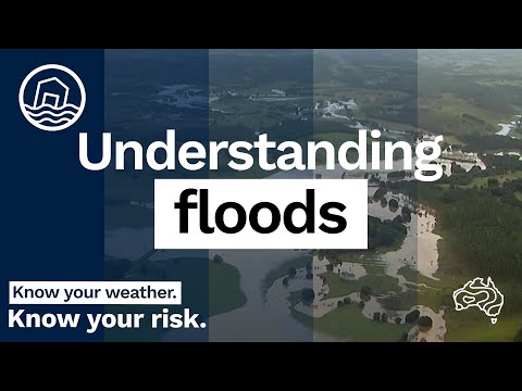 Flooding is among Australia's most deadly natural disasters—but it's also important for agriculture and the lifecycle of many plants and animals. So, what are floods and what causes them? Improve your knowledge of floods with this video.
Flood estimation Video - what is a one in 100 year flood?
-
 This video explains why a property has been mapped as being in a flood prone area, even if people may not have experienced a flood there in many years, or at all. It also explains why major floods have been occurring frequently when they are called “1-in-100-year” floods in the news.
Flood Studies video - Could flooding affect your property?
-
 This video explains why we have flood studies and how you can get information about flood levels for your property.
Custom
